Program of Study
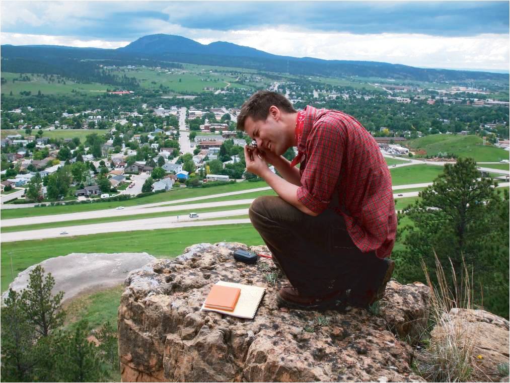
The Black Hills present an unrivaled opportunity for geologic studies. Students examine a wide variety of rocks, geologic structures, geomorphic features, and mineral deposits.
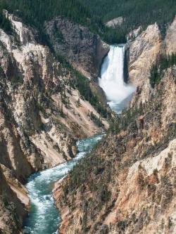
Geologic mapping and interpretation is strongly emphasized and the instruction includes field and surveying techniques, and mapping on aerial photographs and topographic base maps. Some field exercises take place in the Powder River Basin and Big Horn Mountains of Wyoming, and Yellowstone and Grand Teton National Parks.
The fundamental purpose of this course is to teach geology in the field. Because geology in the field involves creation and interpretation of geologic maps, various field techniques are introduced in this course as necessary for the map-making exercises. The Black Hills of South Dakota provide probably as many good examples of different types of geology within a short distance of each other as any area in the United States. The stratigraphic section of the Hills is unusually complete, varied, and well-exposed. The geomorphology is classic. Opportunities for paleontologic study are also numerous, with excellent examples of the use of paleontology as an aid to geologic mapping.
 The Precambrian core of the Hills is an outstanding terrain for study of structural features and tectonic processes, igneous/metamorphic rocks and processes, and economic geology. The course runs 5 to 6 days each week. A work day generally starts at 7:30 a.m. and ends back in Spearfish before 5:30 p.m., except for Saturday, when the work usually is over at noon or shortly thereafter. However, students are expected to keep their field notebooks and/or maps up-to-date by working during the evenings. In addition, evenings are used for informal as well as formal lectures and discussions about the mapping projects currently under study. Stratigraphic studies constitute the initial work in the Black Hills. While students become familiar with the rock units they will subsequently map, they are also instructed in the methods and techniques of describing stratigraphic sections. The geologic column of the Black Hills presents a virtually complete sequence of both Paleozoic and Mesozoic formations representing almost all sedimentary rock types and environments of deposition found in mid-North America. By these stratigraphic studies, the students are presented with an excellent opportunity to examine many aspects of sedimentation, sedimentary petrology, and stratigraphy.
 In stratigraphic studies, as well as in all other aspects of the program, emphasis is placed on both field techniques and the way field observations should be recorded. Thus, the student does much more than simply look at rocks. Stratigraphic studies, for example, include instruction in such techniques as pace and compass traverses, trigonometric techniques for determining thicknesses of covered intervals and for offsetting lines of measured sections, determining real from apparent dip, and many other standard field procedures.
As soon as it is practicable, stratigraphic studies are combined with structural ones in the form of map problems. There are various major mapping exercises, each taking several days. One mapping problem involves delineation of structure in a metamorphic area of somewhat limited outcrop; here the fundamental techniques of geologic mapping are introduced. Another problem involves mapping of a much larger area on a topographic base map, a fairly straightforward exercise involving a simple folded structure defined by Phanerozoic sedimentary rocks.
 Mapping techniques pertinent to sedimentary rocks are introduced with this exercise which also highlights the profound effects of topography on geologic map patterns. Other mapping exercises involve the use of both aerial photographs and topographic base maps in a larger, more remote area of somewhat daunting topographic relief where the structures are more complex than those of the first two, and include the study and description of deformations caused by local intrusions as well as folding and faulting related to the overall structure of the Black Hills.
These techniques are viewed, not simply as an end in themselves, but, rather, as the means to the larger, more encompassing goal of teaching students how to perform geologic field work. Map-making, then, is merely a necessary process toward the more fundamental goal of interpreting the geologic evolution of a particular area of interest.
A secondary goal of the field camp is to foster an appreciation for the geology of the entire Black Hills (not just the areas mapped) and that of the larger Rocky Mountain region. Thus, in addition to the projects outlined above, detailed investigations are made of the Precambrian terrain of the Hills.
This is accomplished via field traverses across tectonic structures, mineralogic and petrographic features, and field relationships of the metamorphic and igneous rocks that constitute the Precambrian core of the Black Hills dome. These traverses include visits to Mt. Rushmore and vicinity, the world-famous Black Hills pegmatites, and the Homestake gold mine. One week of field camp is conducted in Wyoming to help integrate the geology of the Black Hills into the larger framework of geologic evolution of the Rocky Mountains. Occasional classroom lectures are presented prior to the trip. During the Wyoming trip, every effort is made to see as many good examples of geology as can be visited profitably. Thus, visits are made to Devil's Tower, the coal mines and oil fields of the Powder River Basin, the Bighorn Mountains, as well as Yellowstone and Grand Teton national parks.
